The Rogue Valley Metropolitan Planning Organization is looking for feedback about the bike map it is developing. Below are some of the options available to showcase bicycle features like bike lanes, Level of Traffic Stress, comfort, etc. Please leave a comment at the bottom of the page with your preferences. Images are numbered for easy reference.
Keep an eye for more bike map questions down the road.
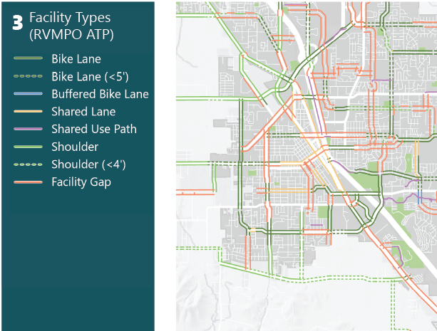
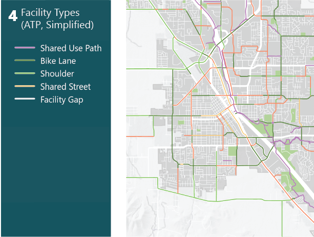


I think I like option 3 the best, but maybe make the parallel lines closer together? There might be a way to show both sides of the street without things looking as cluttered. This will be especially important when we add things like labels and points of interest to the map. I also feel like if the ATP was made, we might as well use it, but we should probably add the greenway to it. 4 is a good option if the map gets too busy.
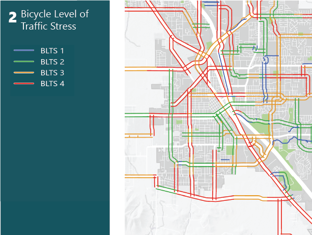
BLTS in option 2 makes it look like most of the network is unsafe. If that’s the case, then we shouldn’t be making a bike map advocating for people to use an unsafe network.
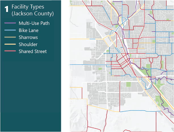
I don’t know why county facilities (1) and ATP facilities (3. 4) have as many differences as they do. Each set has things that the other is completely missing.
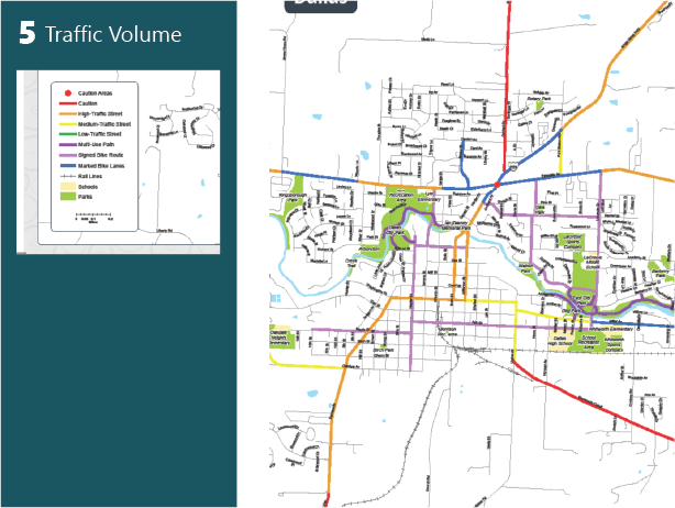
I don’t think traffic volume like in 5 is the right way to go. I want to know where bike lanes exist. Plus, if we want traffic volume we can just stick with the current Jackson County map.
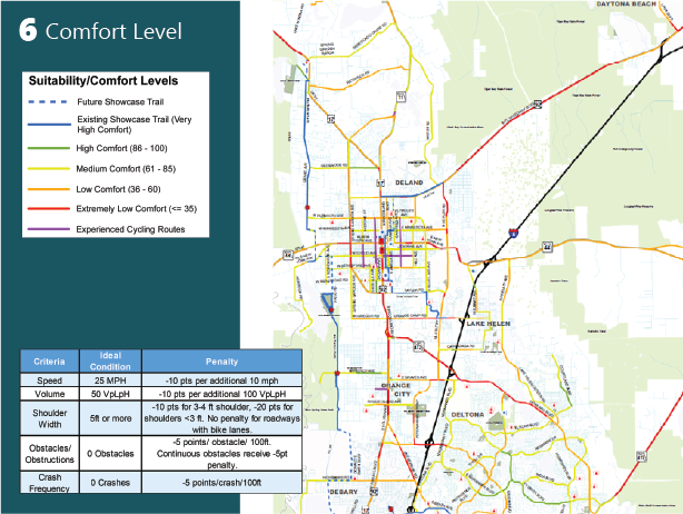
Comfort levels like in 6 could be an improvement to BLTS for the context of this map, but do we have the organizational/community bandwidth to develop a scoring matrix that reflects the priorities of Rogue Valley residents, rather than Floridians?